

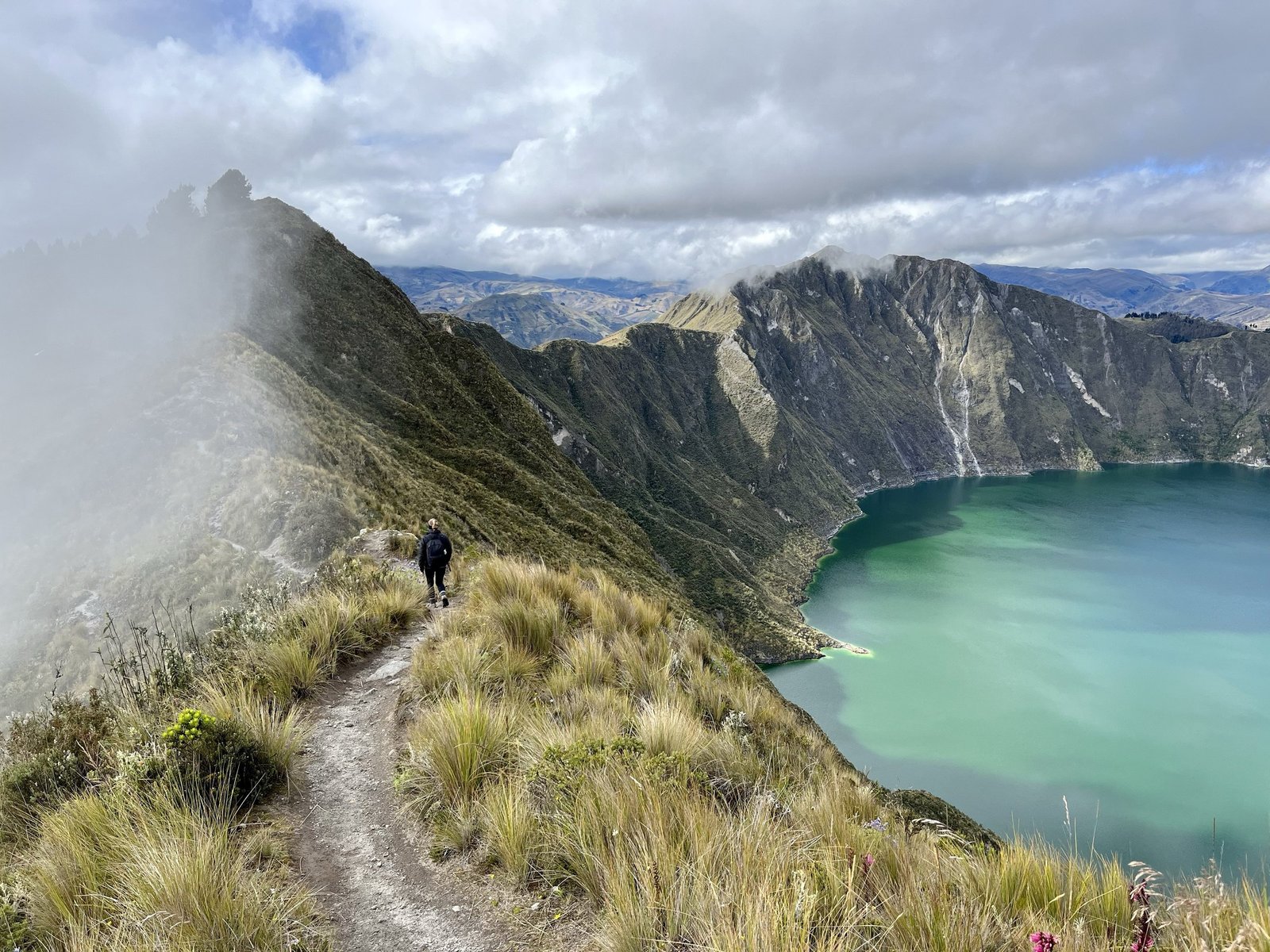
There’s a moment on the third afternoon of the Quilotoa Loop when your lungs are filing a formal complaint, your calves have stopped speaking to you, and the trail flattens out at last at nearly 4,000 meters. You take two more steps and the ground just ends. Below you, in the throat of a collapsed volcano, sits a lake so green-blue it looks retouched.
That’s the payoff. Getting there is the best three days you can spend on foot in Ecuador.
We’ve already taken you kiting in Santa Marianita and island-hopping in Galápagos. This time the Wild Side heads up into the central Andes, into Cotopaxi province, for a village-to-village trek that needs no tent, no stove and no permit, just decent boots and a pocketful of cash.
What the Quilotoa Loop actually is
Officially it’s the Circuito Turístico Quilotoa, a network of country trails linking Kichwa farming communities and small towns in the highlands west of Latacunga. The classic version runs point to point over three days:
- Day 1: Sigchos to Isinliví. About 10–14 km, 4–7 hours.
- Day 2: Isinliví to Chugchilán. About 12 km, 4–8 hours.
- Day 3: Chugchilán to Quilotoa. About 13–14 km, 5–9 hours.
That’s roughly 40 km in total. The ranges are wide on purpose: they depend on your fitness, the weather, and how many times you stop to photograph a llama.
You can hike it in either direction, but nearly everyone starts in Sigchos and finishes at the crater. Going that way, the hardest climb comes last and the view is your reward. Start at Quilotoa and walk downhill if your knees are stronger than your lungs, but you’ll miss the drama.
Getting there
From Quito, take the Metro south to Quitumbe, the last station. The Quitumbe bus terminal is right there. Buses to Latacunga leave every 30–45 minutes, take about an hour and a half and cost around $3–4. In Latacunga, catch a bus to Sigchos, which takes about two hours and costs $2–3, cash only.
The smart move is to sleep in Latacunga the night before and catch an early bus. Ask your hostel whether it can store your big bag while you hike with a daypack. Transport runs from Quilotoa village back toward Latacunga, but schedules change, so check times locally the day before.
Day by day
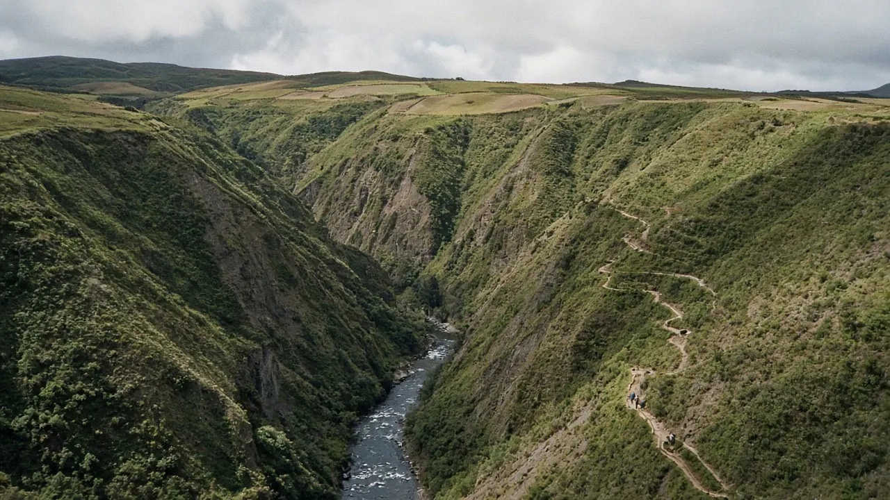
Day 1: easing in. From Sigchos the trail drops into a river valley and climbs back out through fields of potatoes, broad beans and grazing cattle. It’s the gentlest day and a good test of your legs and your navigation. Isinliví is tiny and lovely, a handful of houses, a church and a couple of hiker lodges with views over the valley.
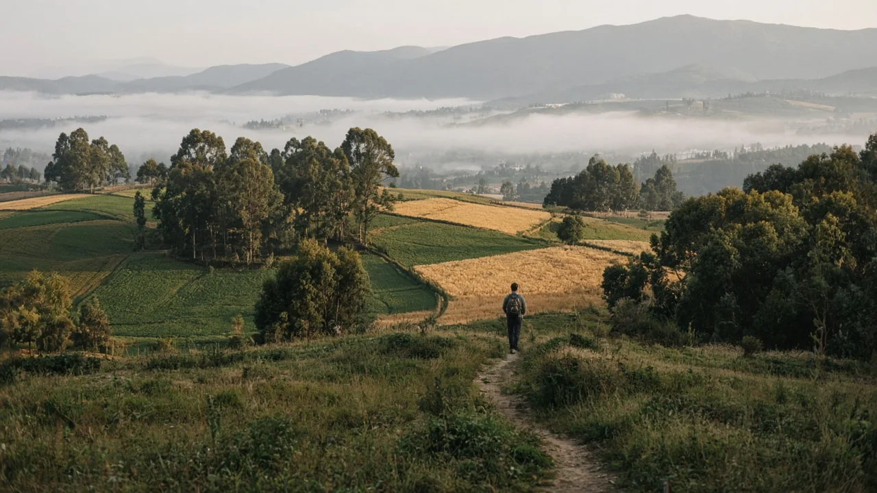
Day 2: the canyon. This is where the landscape turns wild. The route plunges into the Toachi River canyon, with steep sandstone walls and dusty switchbacks, crosses the river, and climbs out the other side toward Chugchilán. It’s sweaty, beautiful and the day most people get lost at least once. Download an offline map before you leave.
Day 3: the climb. From Chugchilán you climb steadily, several hundred vertical meters, through farmland and then along exposed ridgelines. The final stretch up to the crater rim is steep and sandy, topping out close to 3,900 meters; the volcano’s high point is 3,914 m. Go slowly. Then the lake appears, filling a caldera two to three kilometers across, so still it seems to hold its breath. Ecuador’s Geophysical Institute dates the volcano’s last eruption to roughly 800 years ago.
The crater and lake are free to visit, but at the village gate the local community charges $2 per adult ($1 for children and seniors), which covers parking and toilets. Pay it with a smile; it keeps the place running.
Where you sleep and eat
This is what makes the loop special: each village has hiker lodges and family-run hostels, and most offer dinner and breakfast, often included in the price. Some will pack you a lunch for the trail. Evenings mean wood stoves, wool blankets, hot soup and swapping war stories with people from six countries. Book ahead on weekends and in the June–September high season.
When to go
The dry season, roughly June to September, gives you the clearest skies and firmest trails. December to February works too, but expect more cold and rain. Afternoon clouds are common all year, so start early every day. Nights are cold at any time of year. This is the Andes, not the beach.
What to pack
- Cash. There are no ATMs along the route. Bring enough for lodging, meals, buses and a buffer.
- An offline map or GPS app. Signage is patchy, and you can walk for hours without meeting anyone to ask.
- Trekking poles. Your knees will thank you on the canyon descents.
- Layers. A warm fleece, a rain shell, a sun hat and sunscreen, because high-altitude sun burns fast.
- Two liters of water and snacks for each day.
- A stick or calm confidence for farm dogs, which bark a lot and usually don’t mean it.
Altitude and safety
Spend at least a couple of days in Quito, which sits at about 2,850 meters, before you start. Drink lots of water, go easy on alcohol the first nights, and turn back or rest if you get a pounding headache, nausea or dizziness. If you’re unsure about navigating, hire a local guide. It’s highly recommended for first-timers and puts money straight into the communities. Hike with a partner or a group when you can.
The real reward
Yes, the crater is unforgettable. But ask anyone who has done the loop what they remember and they’ll tell you about the kid who walked them to the right trail, the grandmother selling oranges at a crossroads, and the wood stove in Chugchilán after a day in the canyon. Quilotoa is the postcard. The loop is the story.
Sources
- Quilotoa.com, ‘Quilotoa Loop’ (route, distances, buses, tips; dated June 2025): https://www.quilotoa.com/en/loop.html
- Instituto Geofísico (EPN), ‘Quilotoa’ (elevation 3,914 m, last eruption about 800 years ago): https://igepn.edu.ec/quilotoa
- Quilotoa.com, ‘Ayuda & Contacto’ (community entrance fee): https://www.quilotoa.com/ayuda.html
- Laguna de Quilotoa, ‘Opening Hours & Fees’: https://lagunadequilotoa.com/hours-and-fees/
- Inca Trail Reservations, ‘Quilotoa Loop 2026: 3-Day Itinerary, Map & Difficulty’: https://incatrailreservations.com/trail/quilotoa-loop/
- TrailEasy, ‘Quilotoa Loop Hike: Our Self-Guided 3-Day Itinerary in Ecuador’: https://www.traileasy.com/blogs/quilotoa-loop
- Cover photo: Photo: Travels&Treks, via Wikimedia Commons, CC BY-SA 4.0 (licence)