

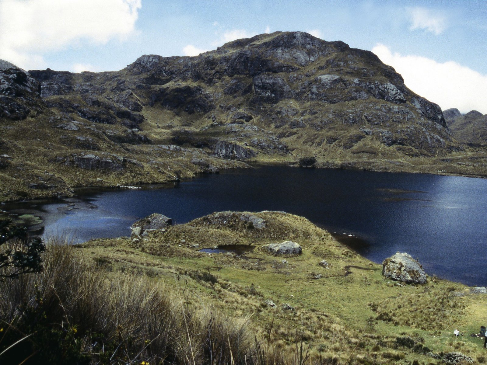
From the colonial centre of Cuenca, it takes about 40 minutes by car to swap church domes and traffic for something that feels like the edge of the world: a high, wet, wind-combed plateau of lakes and golden grass where the clouds sit at eye level and the only sound is water.
That’s El Cajas. It’s free to enter, you can reach it by public bus, and this weekend, when Cuenca fills up for its independence fiestas, it’s the best escape in the south of Ecuador. If you hiked the Quilotoa Loop with us last week, consider this its colder, wetter, more mysterious cousin.
What makes Cajas special
Cajas National Park covers 28,544 hectares of the western Andes in Azuay, at altitudes from about 3,150 to 4,450 metres. Ecuador’s Environment Ministry describes its geology as lake systems tucked inside the mountains “like enormous interconnected boxes” (cajas), which is a good way to picture the place.
The numbers are wild. ETAPA EP, the Cuenca municipal utility that manages the park, counts more than 4,200 bodies of water of glacial origin, from big lakes to tiny ponds. The park is a Ramsar wetland of international importance (since 2002) and the core of UNESCO’s Macizo del Cajas Biosphere Reserve (since 2013). It’s also, very practically, Cuenca’s water tower: the Tomebamba and Yanuncay rivers that run through the city are born up here.
Look out for:
- Páramo. The high-Andean grassland of tussock grass, spongy cushion plants and tiny flowers that soaks up rain and releases it slowly.
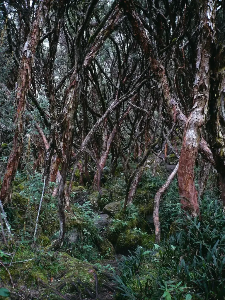
- Polylepis forests. Locally called quinua (no relation to the grain), these twisted trees have peeling, papery red bark, and their genus includes the highest-growing tree species on Earth, found in Bolivia’s Altiplano. Walking through one in the mist feels like a fairytale.
- The Violet-throated Metaltail. A small hummingbird found only in the high Andes of Azuay and Cañar, including Cajas. The IUCN lists it as Vulnerable.
- Lots more wings. The Environment Ministry counts 152 bird species in the park, plus 43 mammals.
Before you go: the essentials
It’s free, but you must register. Entry costs nothing. At a control post such as Laguna Toreadora you show your passport or cédula and say which trail you plan to walk and when you’ll be back. Rangers use that information if someone gets lost. Registration runs from 08:00 to 16:30.
Don’t start late. The park asks hikers not to start or continue walks after 16:00, when fog and cold come in hard. Aim to be on the trail by 9 or 10.
Llaviucu is closed. The lower Llaviucu valley has been closed to visitors indefinitely since fires in December 2024, to let it recover. Plan around Toreadora instead.
Getting there
By bus. Buses from Cuenca’s Terminal Terrestre (and the Feria Libre) heading towards Molleturo and the coast pass the park on the Cuenca–Molleturo road. Ask the driver to let you off at Laguna Toreadora, at kilometre 32. The ride takes about an hour. Published fares range from US$2 to US$4; confirm times and fares at the terminal.
Road note for this weekend: the Cuenca–Molleturo–Naranjal highway was closed by a landslide at kilometre 90, beyond the park, in mid-October. The stretch to Toreadora is closer to the city, but check the Transport Ministry and ECU 911 before you leave, and ask at the terminal whether coast-bound buses are running normally.
By tour or taxi. Agencies around Parque Calderón run day tours with transport and a guide, the easiest option if you don’t want to worry about getting back. If you go by taxi, agree on a pickup time.
Getting back. Flag down a Cuenca-bound bus from the main road. Don’t leave it until dusk.
Which trail?
All figures below are from ETAPA EP. The “time” is its estimate, and it’s generous for good reason: at this altitude everyone walks slower.
| Trail | Distance | Difficulty | Average altitude | Est. time |
|---|---|---|---|---|
| Toreadora lake loop | 2.82 km | Low | 3,947 m | 2 h |
| Tres Cruces | 0.57 km | Low | 4,183 m | 1 h |
| Ruta 1: Naturaleza e Historia Humana | 4.46 km | Moderate | 3,900 m | about 5 h |
| Ruta 2: Cerro San Luis summit | 2.51 km | High | 4,084 m | about 3 h 50 |
First visit? Do the Toreadora loop. It circles the lake through grassland and wetland, starts at the visitor centre (with toilets and a restaurant) and is hard to get lost on.
Want a view? Add Tres Cruces, a short walk at the continental divide, where water flowing one way ends up in the Pacific and the other way in the Amazon.
Fit and acclimatized? Ruta 1 is a longer, moderate route that ETAPA estimates at about five hours. The San Luis summit is steep and for experienced hikers only, ideally with a guide.
Altitude, weather and the gear that matters
The visitor centre sits at nearly 4,000 metres. If you’ve just come up from Guayaquil or the beach, spend at least a day or two in Cuenca (around 2,500 m) first, walk slowly, drink water and skip the alcohol the night before. Headache, dizziness or nausea that gets worse means turn around and go down.
Temperatures in the park range from about −2 °C to 18 °C, and you can get sun, fog, drizzle and hail in a single morning. Pack:
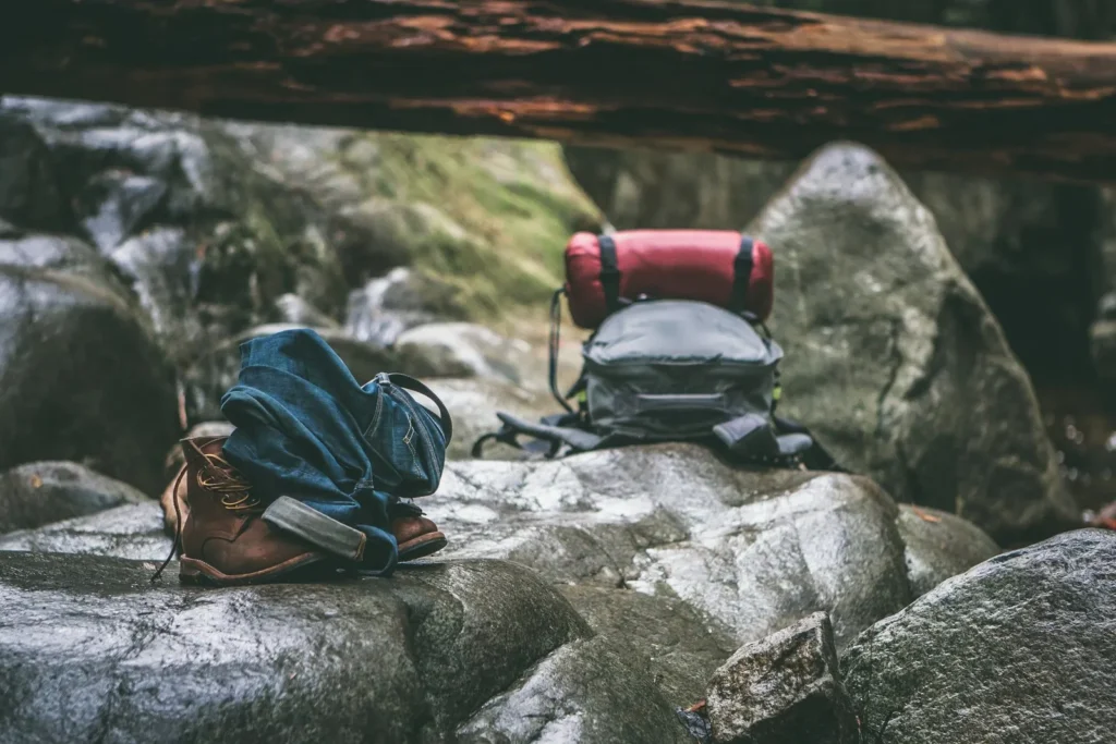
- A proper waterproof jacket and warm layers, plus a hat and gloves
- Waterproof boots. The páramo is a giant sponge and trails get muddy
- Sunscreen and sunglasses. High-altitude sun burns even when it’s cold
- Water and high-energy snacks
- Your passport or cédula for registration
- A charged phone with an offline map, though you shouldn’t rely on it alone
The rules (and why they exist)
No pets, no fires, no alcohol, and no picking plants or taking animals. Don’t swim in the lakes. They’re cold and deep, and the park asks visitors to stay out. Sport fishing is allowed only with artificial lures. Stay on marked trails, because páramo vegetation recovers very slowly. You’ll get a bag at registration for your rubbish, so bring it all back.
Why go now
The November puente (31 October to 3 November) brings big crowds to Cuenca for the fiestas. Spend one morning up here, in silence, and the parades will feel even better when you come back down. Pair it with a long lunch and a café you can call your own back in town.
The wild side of Ecuador isn’t always far away. Sometimes it’s 32 kilometres up the road, wrapped in cloud.
Checked as of 22 October 2026. Conditions change quickly in the páramo. Confirm current rules, closures and road status with ETAPA EP and park rangers before you go.
Sources
- ETAPA EP, Parque Nacional Cajas, ‘Rutas’ (trail lengths, difficulty, altitudes and times): https://www.etapa.net.ec/gestion-ambiental/parque-nacional-cajas/visitar-el-pnc/rutas/
- ETAPA EP, ‘Reglas y recomendaciones’: https://www.etapa.net.ec/gestion-ambiental/parque-nacional-cajas/visitar-el-pnc/reglas-y-recomendaciones/
- ETAPA EP, ‘Accesos’: https://www.etapa.net.ec/gestion-ambiental/parque-nacional-cajas/visitar-el-pnc/accesos/
- Ministerio del Ambiente, ‘Parque Nacional Cajas’ fact sheet: https://www.ambiente.gob.ec/parque-nacional-cajas/
- El Mercurio, ‘Parque Nacional Cajas: rutas, recorridos y recomendaciones para turistas’ (4 April 2026): https://elmercurio.com.ec/actualidad/2026/04/04/parque-nacional-cajas-rutas-recorridos-y-recomendaciones-para-turistas/
- Cuenca360, ‘Parque Nacional Cajas: entrada y cómo llegar’ (verified October 2026): https://www.cuenca360.com/guias/parque-nacional-cajas-desde-cuenca
- Ramsar Sites Information Service, Parque Nacional Cajas: https://rsis.ramsar.org/ris/1203
- UNESCO Man and the Biosphere Programme, Macizo del Cajas: https://www.unesco.org/en/mab/macizo-del-cajas
- BirdLife International / IUCN Red List, Metallura baroni (2023): https://doi.org/10.2305/iucn.uk.2023-1.rlts.t22687993a222297553.en
- Guinness World Records, ‘Highest tree species’ (Polylepis): https://www.guinnessworldrecords.com/world-records/86953-highest-tree
- El Comercio, ‘Vía Cuenca-Molleturo está cerrada por deslizamientos de tierra’ (October 2026): https://www.elcomercio.com/actualidad/ecuador/via-cuenca-molleturo-cerrada-por-deslizamientos-tierra/
- Cover photo: PHOTO: AMALAVIDA.TV / WIKIMEDIA COMMONS (CC BY-SA 2.0), EDITED (licence)